The route that reaches Rome from the north-west of Europe is called the Via Francigena because the pilgrimage began to be an important and widespread practice in the Carolingian era, that is, after the unification of a substantial part of the north of the Italian peninsula under the Holy Roman Empire of Charlemagne, king of the Franks, who were a Germanic population (the idea of a nation state, and moreover the French, came a few centuries later). The route used at that time mainly consisted of the historical passages of Gran San Bernardo, Piccolo San Bernardo, Monginevro and Moncenisio, all in the Western Alps, and gathered pilgrims from different regions of the Empire: Burgundy, Austrasia, Neustria and Saxony, but also from the British Isles, where Christianity was established for several centuries and where the damage of the barbarian invasions were minor.
The figures of the trail
- Length: 1004km
- Stops: 45
- Maximum Altitude: 2400m
How long is the Via Francigena?
The Via Francigena, from the Gran San Bernardo to Rome, is 1004 kilometres long.
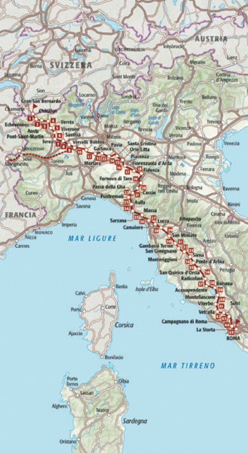
What are the stops of the Via Francigena?
The Via Francigena is a trail that mainly consists of dirt roads and country roads. In the vicinity of the cities it is inevitable to walk on asphalt, and where possible on sidewalks or minor roads. IN the mountain areas you follow historical paths and mule tracks.
1 Gran San Bernardo ➔ Echevennoz 14,9
2 Echevennoz ➔ Aosta 13,6
3 Aosta ➔ Châtillon 27,8
4 Châtillon ➔ Verrès 19,0
5 Verrès ➔ Pont-Saint-Martin 14,8
6 Pont-Saint-Martin ➔ Ivrea 21,5
7 Ivrea ➔ Viverone 20,1
8 Viverone ➔ Santhià 16,7
9 Santhià ➔ Vercelli 26,8
VAR Valle di Susa ➔ Vercelli 165/190
10 Vercelli ➔ Robbio 18,6
11 Robbio ➔ Mortara 14,3
12 Mortara ➔ Garlasco 20,7
13 Garlasco ➔ Pavia 24,5
14 Pavia ➔ Santa Cristina e Bissone 28,0
15 Santa Cristina e Bissone ➔ Orio Litta 16,1
16 Orio Litta ➔ Piacenza 22,1
17 Piacenza ➔ Fiorenzuola d’Adda 31,7
18 Fiorenzuola d’Adda ➔ Fidenza 22,3
19 Fidenza ➔ Fornovo di Taro 34,0
20 Fornovo di Taro ➔ Cassio 20,9
21 Cassio ➔ Passo della Cisa 17,0
22 Passo della Cisa ➔ Pontremoli 21,7
23 Pontremoli ➔ Aulla 32,5
24 Aulla ➔ Sarzana 17,5
25 Sarzana ➔ Massa 29,3
26 Massa ➔ Camaiore 26,0
27 Camaiore ➔ Lucca 23,8
28 Lucca ➔ Altopascio 18,5
29 Altopascio ➔ San Miniato 29,0
30 San Miniato ➔ Gambassi Terme 24,0
31 Gambassi Terme ➔ San Gimignano 13,4
32 San Gimignano ➔ Monteriggioni 31,0
33 Monteriggioni ➔ Siena 18,9
34 Siena ➔ Ponte d’Arbia 25,8
35 Ponte d’Arbia ➔ San Quirico d’Orcia 26,1
36 San Quirico d’Orcia ➔ Radicofani 32,3
37 Radicofani ➔ Acquapendente 24,0
38 Acquapendente ➔ Bolsena 22,8
39 Bolsena ➔ Montefiascone 17,7
40 Montefiascone ➔ Viterbo 18,3
41 Viterbo ➔ Vetralla 16,0
42 Vetralla ➔ Sutri 23,5
43 Sutri ➔ Campagnano di Roma 24,5
44 Campagnano di Roma ➔ La Storta 22,8
45 La Storta ➔ Roma 19,1
When to go
The Valle di Susa and the Valle d’Aosta have alpine climates, with snow extended until spring, The Po Valley has a temperate climate, with hot summers (sometimes very hot) and humid and cold winters, with fog. The Apennine passage could have snow between November and March. To the south of the Cisa Pass the climate is Mediterranean, with heavy rainfall in high Tuscany, especially in spring and autumn. The climate gets drier and drier as we proceed towards Rome.
The signs
The official track is indicated by different types of signage: brown metal signs with the indication “Via Francigena” and the pictogram depicting two walkers, placed near the most important road accesses (beware of identical signs, but with the pictogram of a car, indicating an automotive route); smaller metal signs, placed on wooden stakes, depicting a pilgrim and an arrow indicating the way to the crossroads; painted white flags and adhesive strips with a black pilgrim in the centre. In Valle d’Aosta, where yellow is expected for all the trails in the region, there are marked signs with this colour and numbered paths to which the words “Via Francigena” are added.
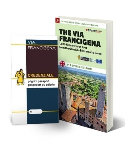
Where to find the credentials for Via Francigena?
The credential can be found on www.viefrancigene.org or, in conjunction with the guide on our site, or you can buy it at affiliated stores available on the website www.viefrancigene.org
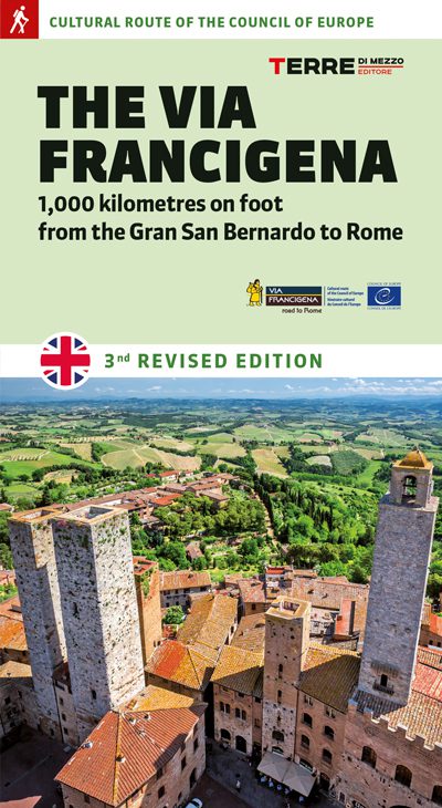
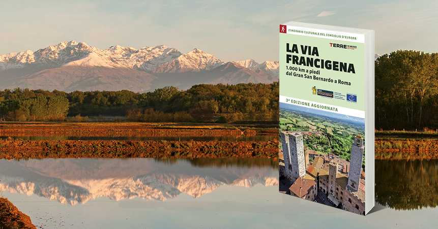
The guide
The guides to the Via Francigena in Italy are also available in English